This Texas Falls is in the great state of Vermont, near the town of Hancock, a speck with a population of almost 350. To the great state of Texas, Hancock and its river and falls would be a mote of dust to be brushed off the panhandle. To a trio of intrepid ladies of a certain age, it was the scene of a splendid picnic and ‘easy’ hike through tree roots and mud.
Here’s some back ground on the area, which is part of the Green Mountain National Forest, for those of you who wish to know how the Falls were formed and what they are made of (besides water). It includes a map of the 1-mile trail we took which is variously described as ‘easy’ and ‘moderately challenging.’ The latter description was apt for us, what with the aforementioned tree roots and mud, and all our artificial bits and pieces.
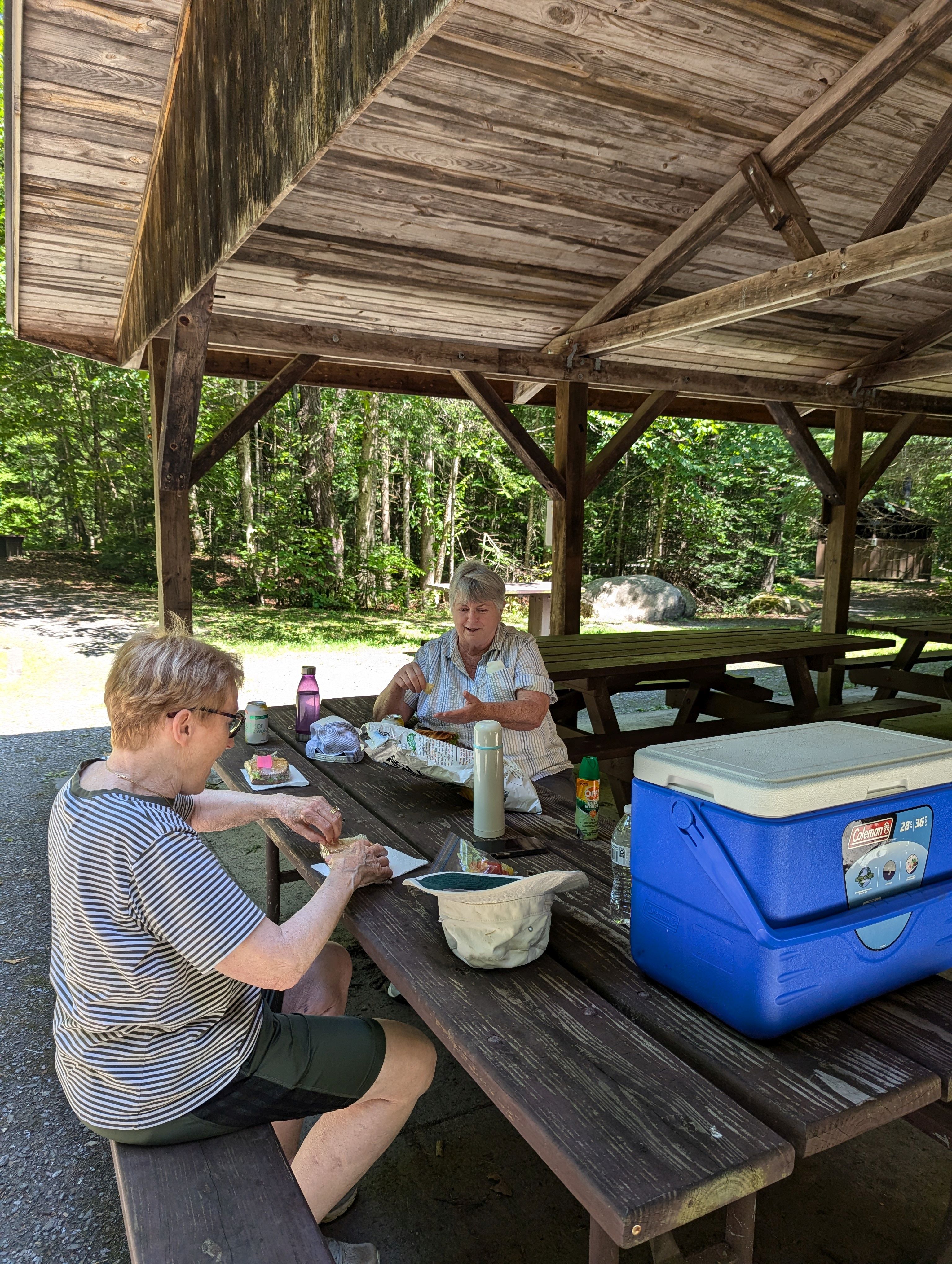
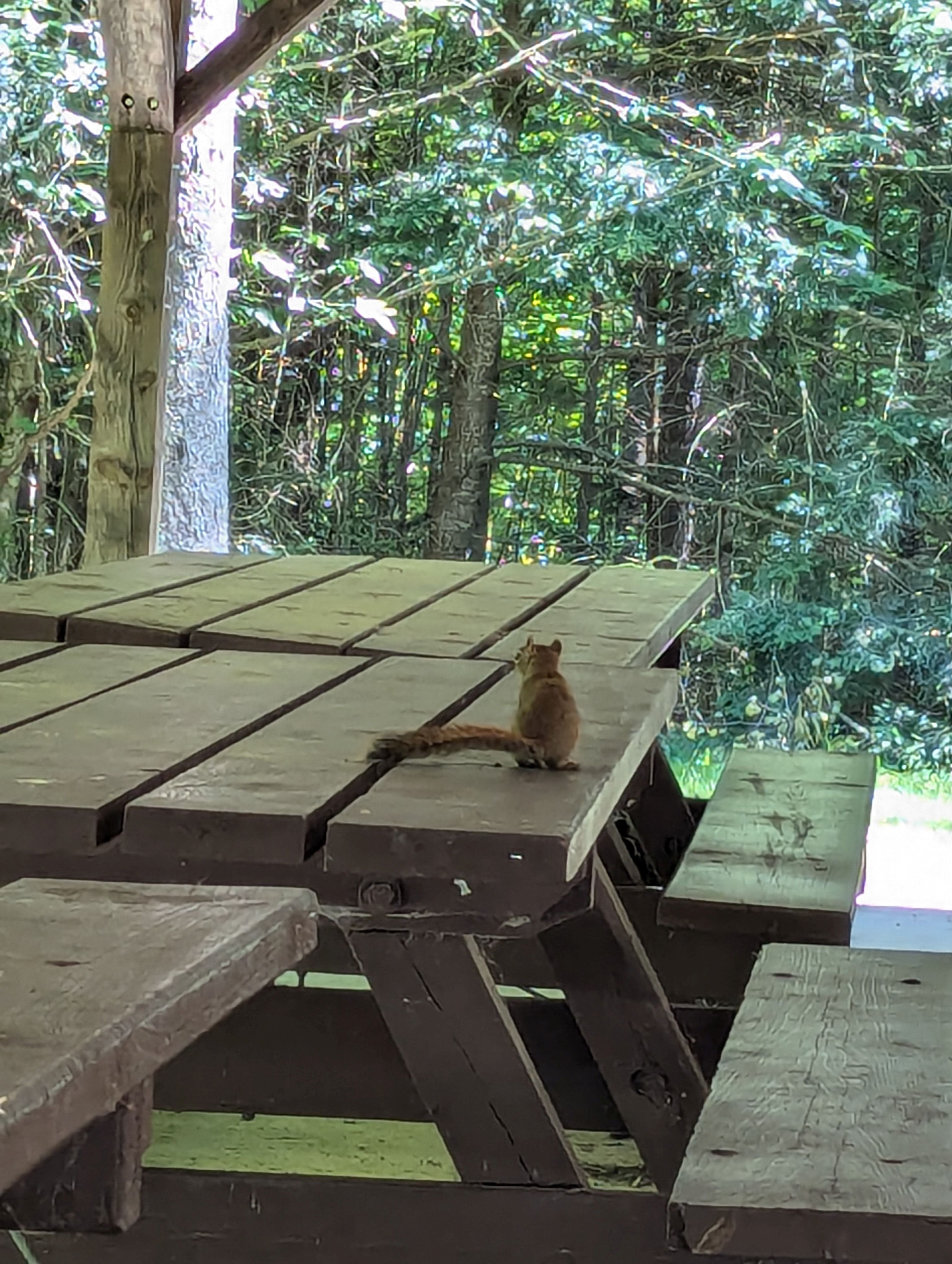
Every good hike includes food, and we girded our loins for the test with a delightful picnic in the Forest Service-provided pavilion where we were joined by a bold little squirrel who, it turned out, was a fool for my stump-served bread crusts.
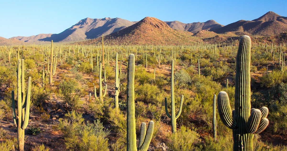
Time to head out! Ours was not a 30-minute hike; it was more like an hour and a half. Part of our slow time was due to everyone having to wait while I took a million photos. Coming from the part of the world where a forest looks like this:
Saguaro National Park: photo credit: National Geographic
the vivid green and the density of over- and undergrowth required many a stop to exclaim and to record. (Excuse odd typeface here, heh heh).
This trail is not the groomed path of more accessible parks.
Just look at all those roots waiting to trip the unwary! As well there was an elevation change of about 200′, and plenty of mud after some recent rains. Footing was sometimes a bit tricky.
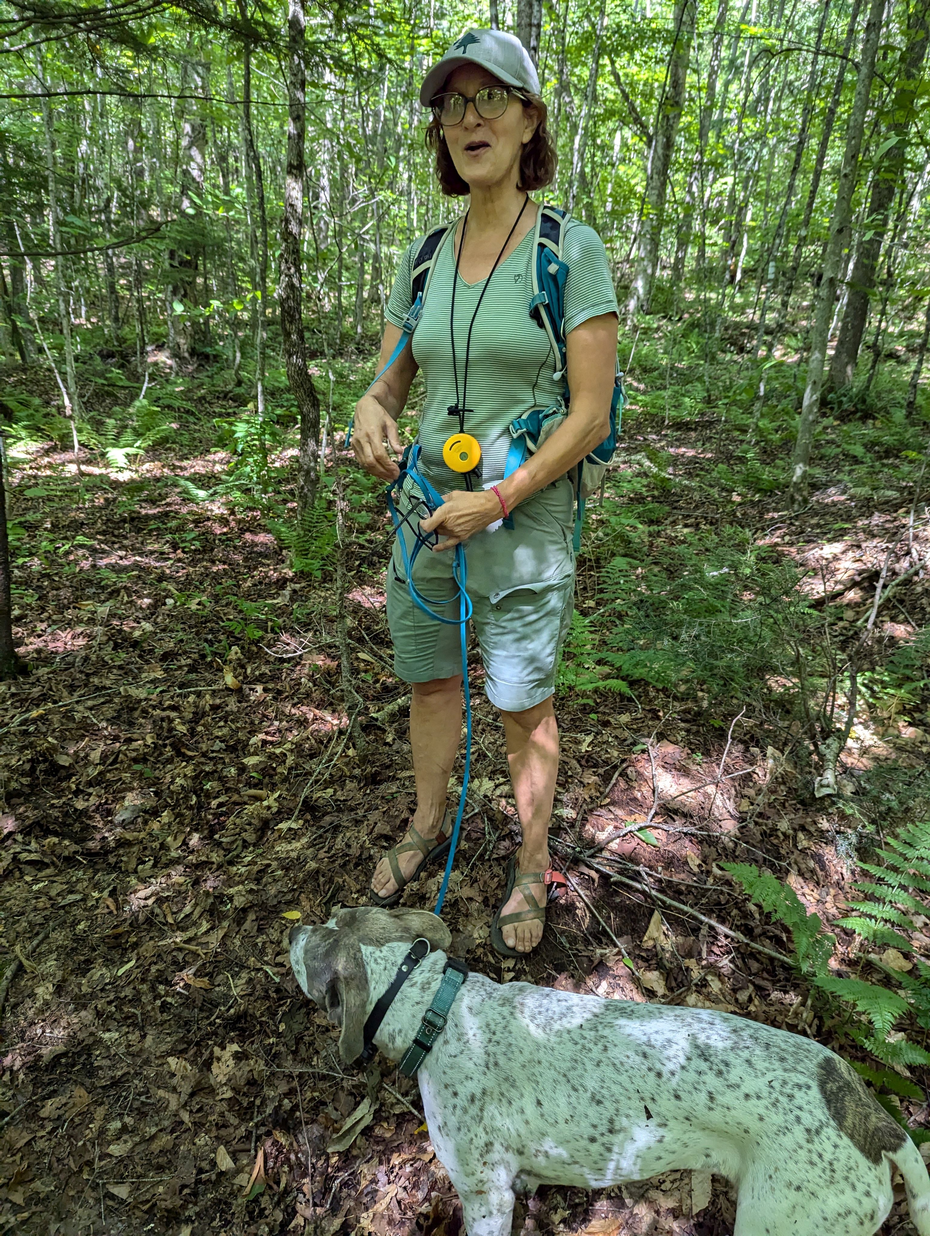
In a woo-woo encounter we met a young woman who also graduated from our school, though many years after we did. She was accompanied by a very fine hiking dog.
Here are some of the photos I took, in no particular order:
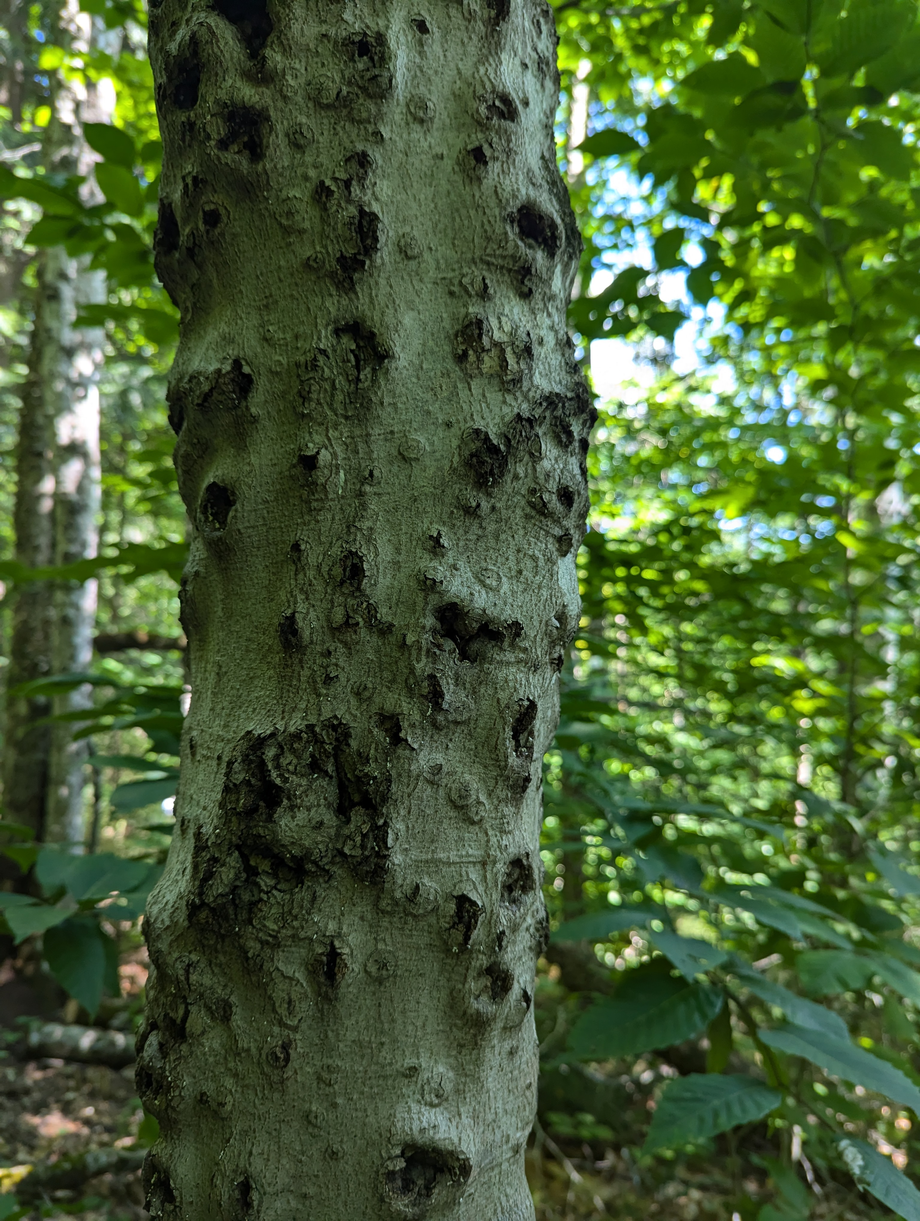
Did woodpeckers do all this? It reminded me of the granary trees of acorn woodpeckers. Maybe this initially looked like a good storeroom, but the birds changed their minds.
Did I mention the roots? These hills are made of granite. In places the tree roots cannot go down, so they crawl along the surface of the ground.
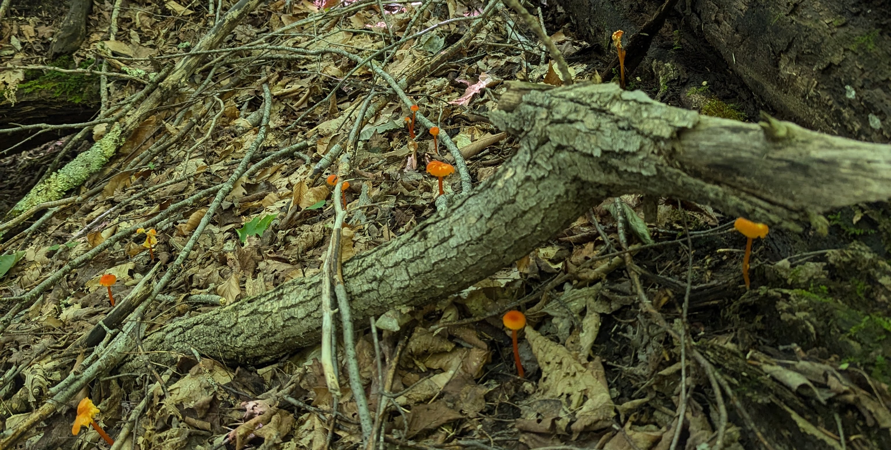
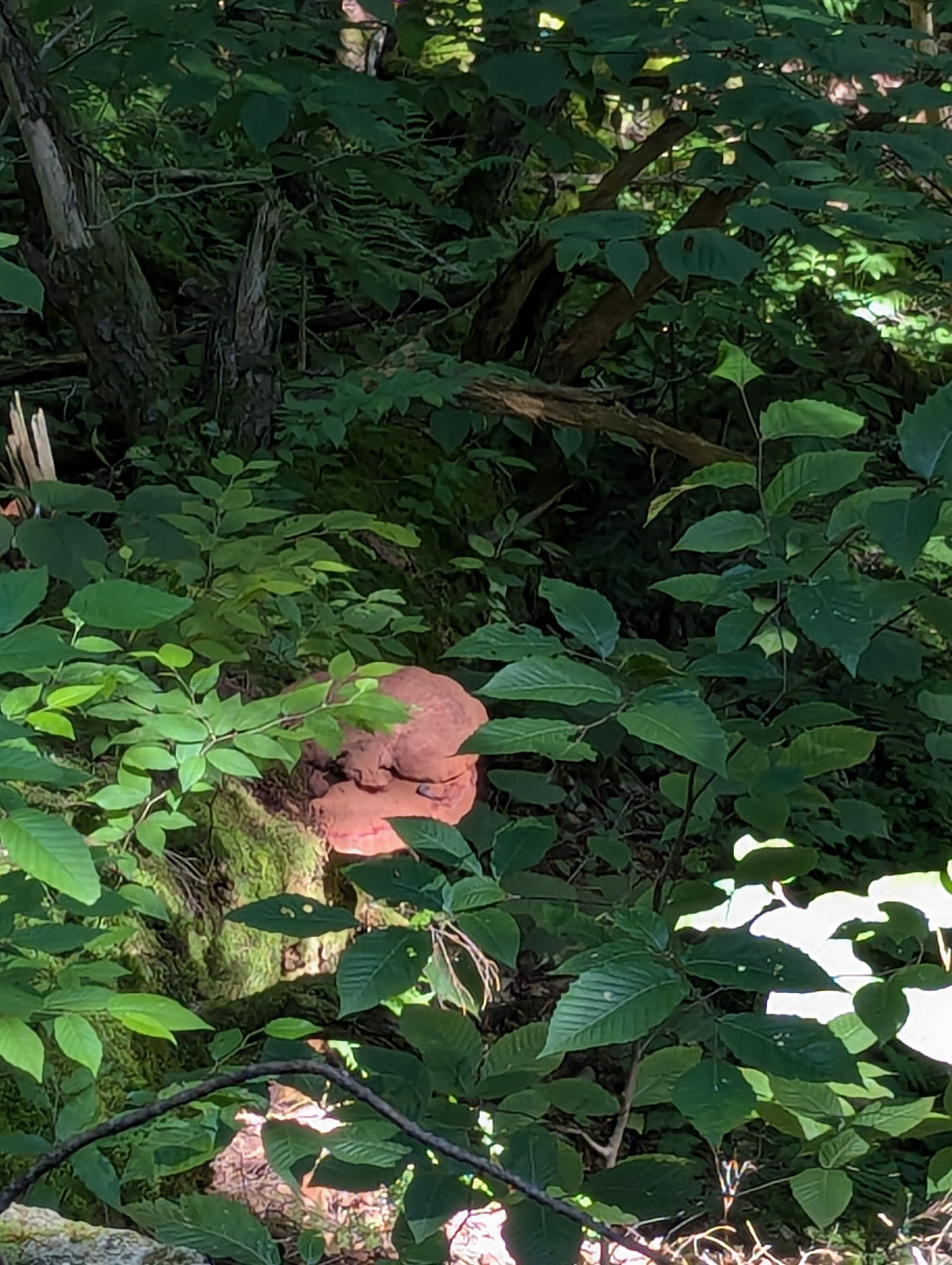
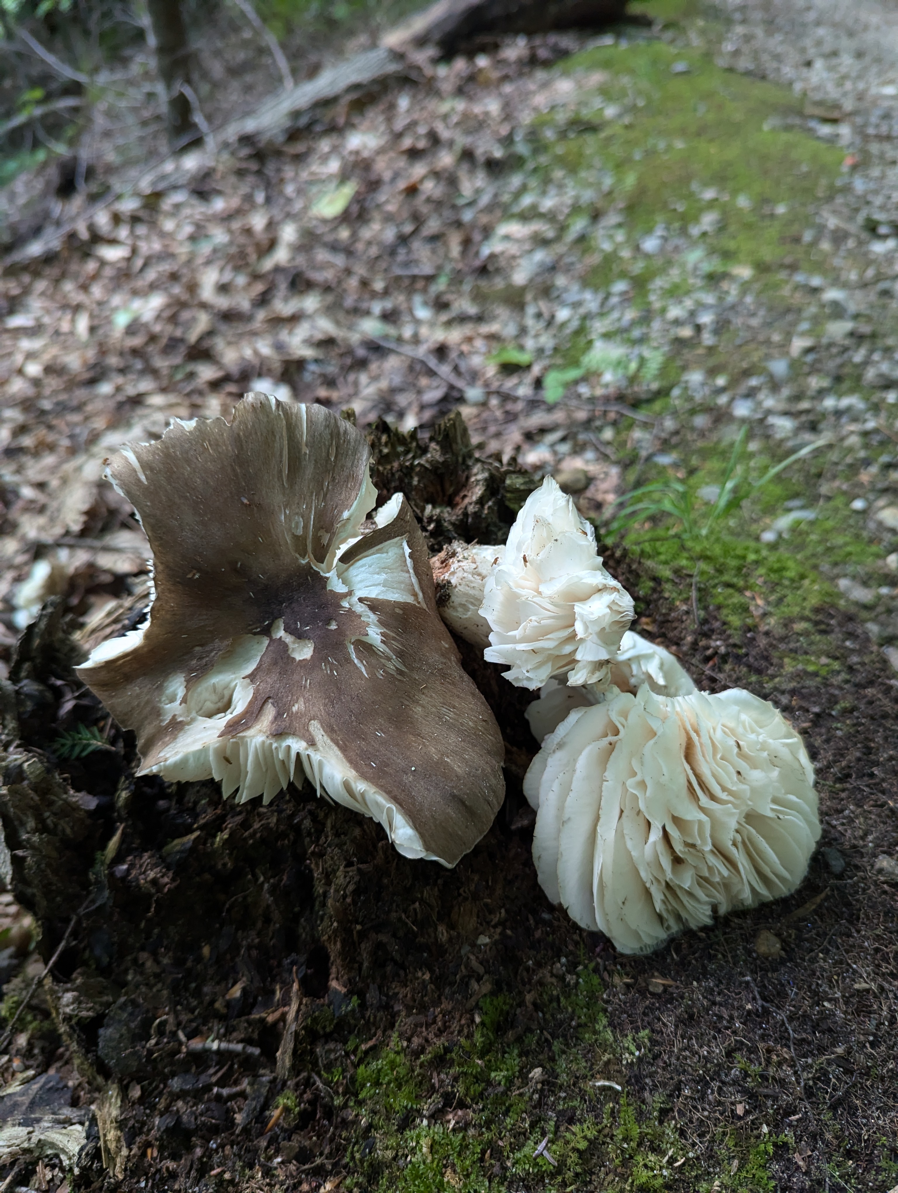
Several times we came across mushrooms – some alarming orange ones, a stale shelf musroom, and one that appeared to have exploded.
We decided not to sample any of them.l
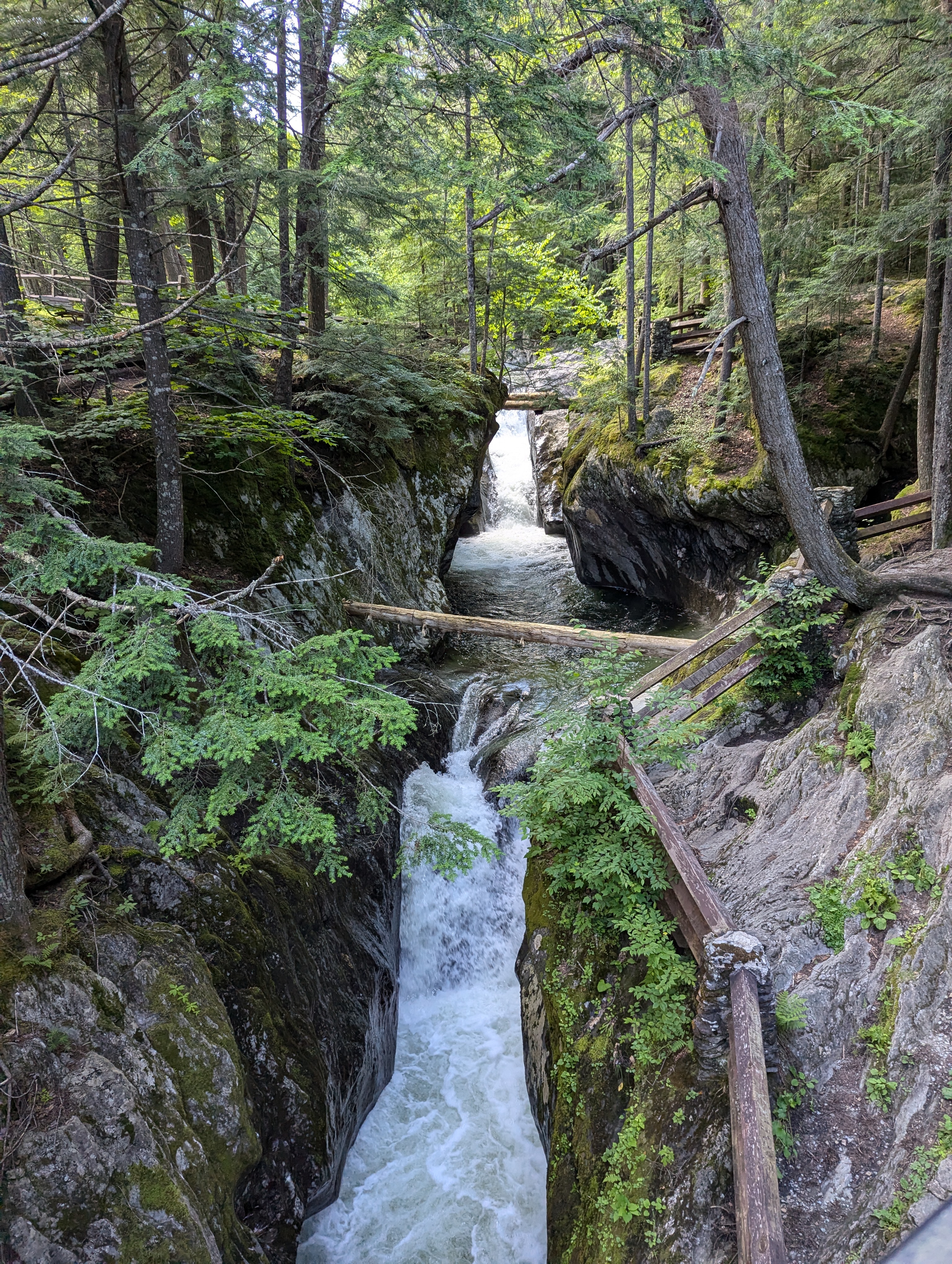
This being a loop trail one could start out walking along the stream taking the trail counterclockwise, or head northwest in a clockwise circuit. Had we gone along the stream we would have seen the falls almost immediately, might have said, ‘oh, that’s nice,’ might have said, ‘okay, let’s go home now.’ Had we done that we would have missed all the interest of the trail, and that would have been a pity. Tired as we were, though, it was not a disappointment to descend to the river bed and see, at last, the falls in all their Vermont-sized glory.
Looks like the original bridge and stairs leading up the hillside washed out at some point. That’s not a surprise. Though the falls may look modest, there’s a fair amount of water moving through the gorge, enough to have carved a gorge in the first place. Imagine what it would look like after a big storm! Sadly, Vermont has had too many big storms in recent years, this last weekend being only the most recent.
We were fortunate to have fine weather for out little mini-hike, and grateful to the Forest Service for maintaining this delightful trail.